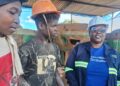
- Mining companies across Africa are turning to AI-powered geospatial analytics to improve oversight of remote and complex operations.
- Satellite monitoring can detect early signs of land movement, water-related issues, vegetation stress and unauthorised activity.
- The technology is helping miners reduce operational risk, strengthen environmental monitoring and streamline mineral exploration.
AFRICA is one of the world’s richest mining sectors, with deposits of gold, copper, cobalt, lithium, manganese, iron ore, and rare earth elements.
It also poses some of the biggest mining operational challenges.
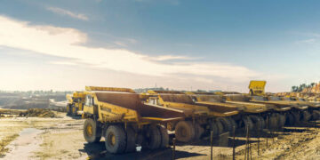
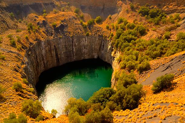
Mining companies in Africa must manage large, remote, and topographically complex sites, including assets such as open pits, tailings storage, haul roads, processing areas, waste rock piles, water bodies, and reclamation zones.
Mining has a big impact on surrounding communities and sensitive ecosystems, and conditions can change quickly in ways that aren’t always easy to spot from the ground.
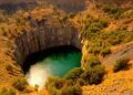
A small shift in a tailings dam, the unexpected appearance of new surface water, a change in vegetation, erosion near an embankment, or unauthorised activity near mining property can all be early indications of operational and environmental issues that may lead to bigger problems.
Mining operators are adopting AI-powered geospatial analytics to detect such anomalies before they become problems.
Satellite imagery, geospatial data, and advanced algorithms are being adapted for continuous monitoring of mining sites, helping companies identify and prioritise risks sooner.
They also direct field teams to the source of problems and help mine management make better-informed operational decisions.
Traditional mine monitoring has its limits
(Image: Satelytics / Handout)
Mine monitoring has always required engineers, environmental scientists, and field inspectors to visit sites to validate conditions, sample soil and water, and inspect the infrastructure.
The challenge is that a field crew can only visit one location at a time.
And with many mines in remote areas, difficult terrain, weather, and other barriers, inspection can be difficult.
Most changes occur between inspections or outside the monitored area.
This is especially true in Africa, where mining operations tend to span large areas of rugged terrain.
Many sites have little or no established infrastructure, and others are in areas where weather, road conditions, and security concerns make ground inspection difficult.
Conventional monitoring techniques can’t provide sufficient visibility to handle risk detection across mining operations.
That’s where AI-powered geospatial analytics come in.
A bird’s eye view delivers more data
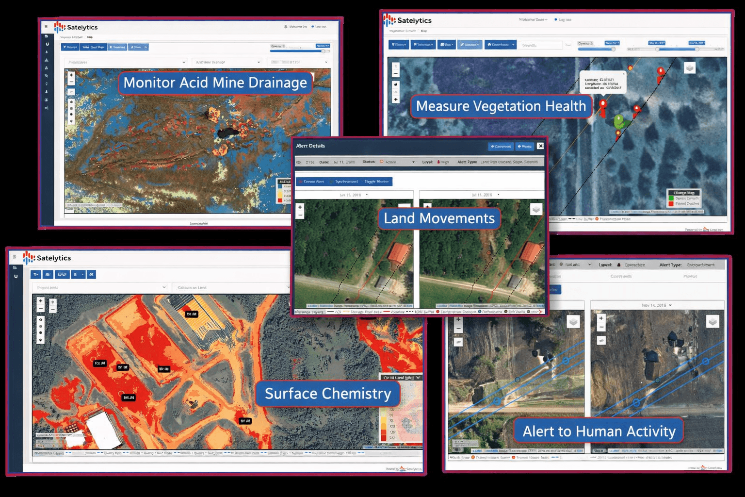
Geospatial analytics enable mine operators to continuously monitor large areas without physical inspections.
Satellite imagery, drone footage, and other data sources feed into AI systems that sift through visual, spectral, elevation, and environmental information, flagging anomalies and tracking how a site changes over time.
What makes this particularly useful is how precisely these systems can be tuned.
Need to watch for shifts in water quality, vegetation health, ground movement, or unusual activity?
Those can all be set as priorities, with findings surfaced through maps, alerts, dashboards, or side-by-side historical comparisons that make it clear not just what changed, but why it matters.
For mine operators, the practical impact is significant.
Instead of relying on scheduled site inspections that capture only a snapshot in time, teams get continuous visibility across their entire operation, freeing up experienced personnel to focus where it’s actually needed.
Turning satellite data into operational intelligence
Where AI-powered spatial analytics is especially useful is in guiding actions to deal with emerging risks.
Many aspects of mining require careful monitoring, including tailings facilities, reclamation zones, haul roads, water systems, and embankments, but early signs of trouble are often subtle.
There may be small land movements, changes in surface water, new signs of vegetation stress, and other indicators that are difficult to spot with manual inspections.
For example, a mining operation in Mozambique uses an AI-powered satellite monitor to track reclamation across a vast, remote mining site.
Geospatial analytics also triggered 187 land movement alerts and 1,156 surface disturbance alerts.
The same monitoring technology identified unauthorised activity on mine property, including 86 new structures: 40 on mining property and 5 within a future mine path.
Vegetation monitoring can also reveal different risks.
When vegetation is healthy, it reduces erosion and can indicate a lack of pollutants.
When vegetation starts to die it can indicate environmental stress.
Tree cutting can also indicate trespassing.
Using geospatial analytics, the Mozambique mining operation was able to detect trespassers by identifying 1,693 trees that had been removed, including 61 trees in a protected area.
Geospatial analytics are also ideal for tailings and water management.
Spectral imaging can reveal chemical and biological contaminants, including dissolved metals and suspended solids.
Satellite imaging can also verify the integrity of dams and containment structures.
New tools for exploration and compliance
In addition to risk detection, geospatial analytics are also useful for finding new mineral deposits.
Spectral signatures associated with different minerals or surface composites can indicate the presence of richer deposits below the surface.
Analytics can detect new minerals and narrow the search area, reducing the time and cost of early assessment.
Mining teams throughout Africa are under pressure to find new deposits while managing costs.
Using satellite imagery helps identify new minerals and rare earths faster without environmental impact.
On-site sampling and on-site drilling are still required for validation, but geospatial analytics makes site surveys more efficient and less costly.
AI-powered analytics also help with regulatory compliance.
For example, in the Mozambique project, having a before-and-after record was used to document the company’s reclamation efforts.
More importantly, geospatial analytics provide a competitive advantage.
As mining operations become more complex, companies are being asked to produce more minerals while meeting higher environmental standards, improving safety, and managing community impact.
That requires a near real-time view of mining assets.
The future success of mining in Africa and elsewhere will not only depend on what companies extract, but also on how they manage land, water, and infrastructure.
Geospatial analytics will give companies a new tool to identify subtle changes to mining operations, allowing them to monitor vast areas for potential operational and environmental problems.
Proactive monitoring allows companies to make timely, practical decisions and identify operational and environmental issues before they become costly problems.